See Your Forest. Know Your Carbon. Prove Your Impact.
ForestTwin turns satellite imagery and IoT sensor data into a living 3D replica of your forest assets, so every carbon credit is traceable, verifiable, and audit-ready.
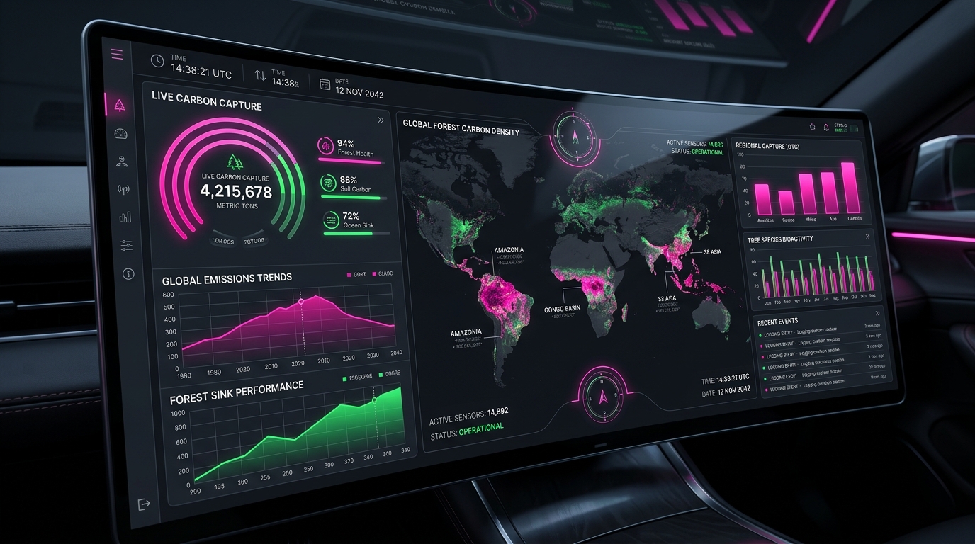
SustainabilityleadersuseForestTwintoturnrawenvironmentaldataintoverifiedcarboncredits,combiningsatelliteimagerywithground-truthsensorsinoneplatformthatmakeseverytonofCO₂traceableandaudit-ready.
Everything you need to manage carbon assets
From satellite-fed 3D replicas to audit-ready carbon ledgers, ForestTwin gives your team full visibility into every hectare.
Interactive 3D Digital Twin
Explore a living 3D replica of your forest. Tree health, canopy density, and biomass update in real time from IoT sensors and satellite feeds.
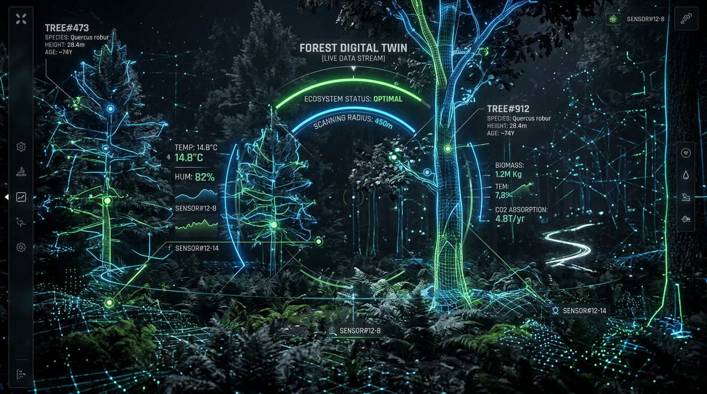
Live Carbon Telemetry
Track sequestration rates, soil moisture, and canopy cover as they change. No waiting for quarterly reports.
0M+
Hectares Monitored
Enterprise Grade Infrastructure
Your data stays secure and accessible across regions. Built for the compliance requirements of global ESG programs.
Client Testimonials
"ForestTwin replaced our quarterly PDF reports with a live dashboard our board actually uses. Carbon credit verification went from weeks to hours."
How it works
Three steps from raw data to verified carbon credits.

Connect your data sources
Link satellite feeds, IoT sensors, and field survey data. ForestTwin ingests and normalizes everything automatically.
Monitor and simulate
Watch your 3D digital twin update in real time. Run climate scenarios to project carbon yields under different conditions.
Verify and report
Export audit-ready carbon ledgers, generate compliance reports, and submit credits to registries like Verra and Gold Standard.
Simple, transparent pricing
Choose the plan that fits your portfolio. All plans include a 14-day free trial.
Monitor
For single-site projects and pilot programs.
Portfolio
For multi-site portfolios and growing teams.
Enterprise
For global programs with custom compliance needs.
Common questions
Still have questions? Our team is here to help.